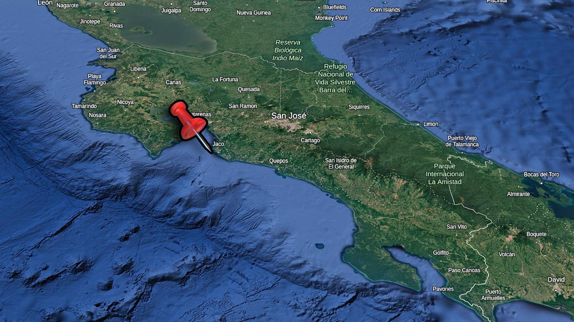
Liberia is a large town in the province of Guanacaste, Costa Rica. If you’re planning a vacation in the part of Costa Rica with the best beaches, it’s likely you’ll be landing in the nearby international airport. Liberia is a hub of activity and opportunity, with many restaurants, shopping and things to do.
Before you book your flights to Costa Rica, check out our Packing List. These are things that I find useful when I’m travelling around Liberia and Guanacaste Province.
Great Shopping
North of San José, there aren’t many towns with the variety of stores like Liberia. You’ll find many large department stores like Walmart and Pequeno Mundo. There’s a Pricemart, which is members only Costco like store. You can also find a store that I like, El Rey. This store has lots of different things like clothing and food at a very low price. The El Rey in Liberia is located in the middle of town.
The downtown area of Liberia is very walkable and has loads of things to see. You can find shops for just about any purpose, like electronics and swimwear. While you’re walking there’s a lot of restaurants and snack shops. There’s even a Macdonald’s standalone ice cream stall.
In the walking video posted below, we’ll begin at the corner of Av 1 and Calle 1, which has the Central Church of Liberia on one corner. We’ll check out the Church and Welcome to Liberia sign, then head over to Parque Mario Canas Ruiz.
You’ll notice that Liberia is quite busy, although there are still families and kids walking around. Some of the main roads can be busy with car traffic, but overall it’s a relaxing place to stroll around and hang out.
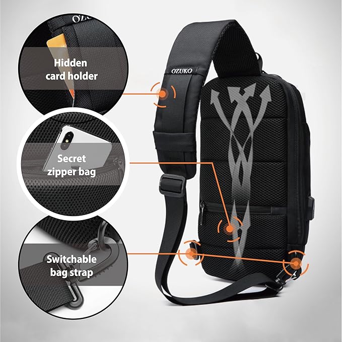
I use this sling backpack when I’m travelling in Costa Rica. It has a zipper lock to secure your stuff. I like the sling as I can flip the bag to the front for easy access.
Museum & Parques!
Across the street from the park, there’s Museo de Guanacaste. If the front door is open you can go in and see if there’s any exhibits. A few streets further west we’ll check out Parque Hector Zuniga Rovira. This is a nice green space with some body weight exercise equipment installed. There’s a grocer at the corner of Calle 8 and Av 1 which has lots and lots of fresh produce. It’s a nice place to stop for a cold drink.
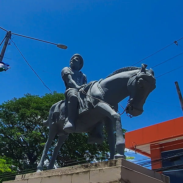
Back towards the main road, Av 25 de Julio, there’s bigger stores and government buildings. Very well kept and clean appearance. There’s cool statues lining the median of the street as well.
Our walk ends when we go under the Inter American Highway. This is a raised bypass highway that is the main conduit from north/south. Around this area, there’s a gas station and many fast food shops you’d be used to seeing in North America(like KFC and Burger King).
Worth The Trip!
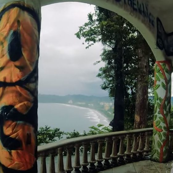
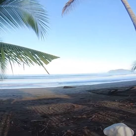
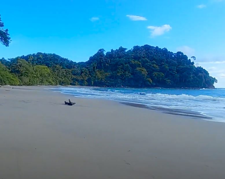
Liberia is a great place to stay if you’re planning on visiting and renting a car. It’s centrally located to both the beaches of El Coco and Tamarindo, as well as National Parks. You can also drive to Samara area or La Fortuna for a bit longer trips.
Be sure to comment on YouTube with your own experience, tips or questions. Subscribe To Our Channel to get more videos of locations and destinations!
FAQs About Liberia, Guanacaste
1. How far is Liberia from the beach?
Liberia is about a 30 to 40-minute drive from popular beaches like Playa Hermosa and Playas del Coco. It’s an easy trip if you’re staying in the city and want a day by the ocean.
2. What is the best way to get around Liberia?
Most people find that renting a car is the most convenient way to explore Liberia and the surrounding areas. Taxis and local buses are also available, but a car gives you more flexibility to visit nearby attractions.
3. Is Liberia a good place to stay for visiting national parks?
Yes, Liberia is a great base for visiting national parks like Rincón de la Vieja and Santa Rosa. These parks are known for their hiking trails, waterfalls, and wildlife, and are easily accessible from Liberia.
4. What are the best restaurants in Liberia?
Liberia has a variety of restaurants offering everything from traditional Costa Rican food to international cuisine. Some popular spots are Jauja and Toro Negro Steakhouse.
5. How safe is Liberia for tourists?
Liberia is generally considered safe for tourists. As with any travel destination, it’s wise to take standard precautions, like not leaving valuables unattended and being aware of your surroundings, especially at night.
6. What can I do in Liberia if it rains?
If it rains during your stay in Liberia, you can visit the local museum, enjoy a coffee at one of the cafes, or explore indoor markets. The Guanacaste Museum is a good option for learning about the region’s culture and history.
7. Where can I buy souvenirs in Liberia?
You can find souvenirs at local markets and shops in the city center. The Mercado Central is a good place to start, offering a range of items like handmade crafts, jewelry, and local foods.
8. Are there any cultural events or festivals in Liberia?
Yes, Liberia is known for its cultural events, especially the annual Guanacaste Day on July 25th, which celebrates the annexation of Guanacaste. The city also hosts various rodeos, parades, and traditional dance performances throughout the year.
9. How close is Liberia to the airport?
Liberia is just a 15 to 20-minute drive from Daniel Oduber Quirós International Airport (LIR), making it a convenient location for travelers flying in and out of Guanacaste.
10. What are some must-see attractions near Liberia?
Must-see attractions near Liberia include the Rincón de la Vieja National Park for hiking and hot springs, the Llanos de Cortés Waterfall for a refreshing dip, and the historic La Ermita La Agonía church in the city itself.