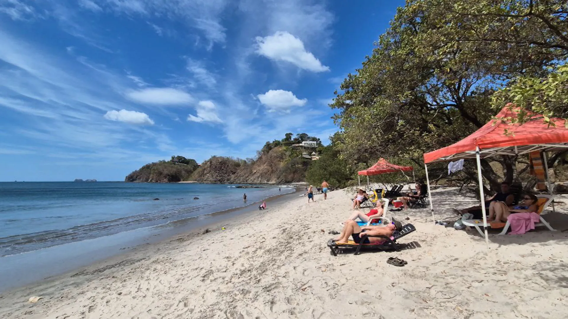
Playa Ocotal is one of my top favorite beaches in Costa Rica. It’s close to the very popular tourist town of Playas del Coco, where you can find a lot of amenities for your vacation. I’ve been here multiple times and never seen it crowded like the main town beaches get.
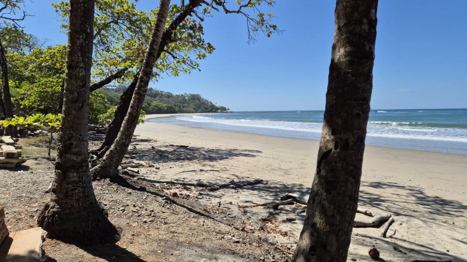
The bay is sheltered, which keeps the water calm most days. Rocky areas jut out on both ends of the beach – these are the good snorkeling spots. At low tide, you can walk across the tide pools between the rocks. I’ve seen howler monkeys in the trees near the southern rocks, though they’re skittish and won’t let you get close.
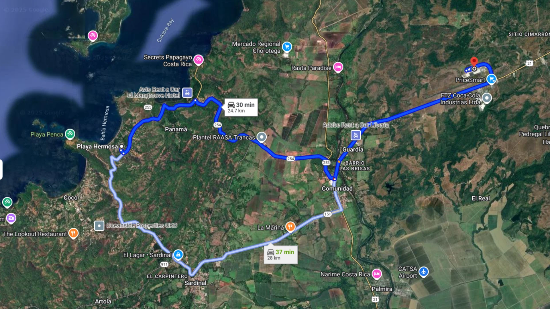
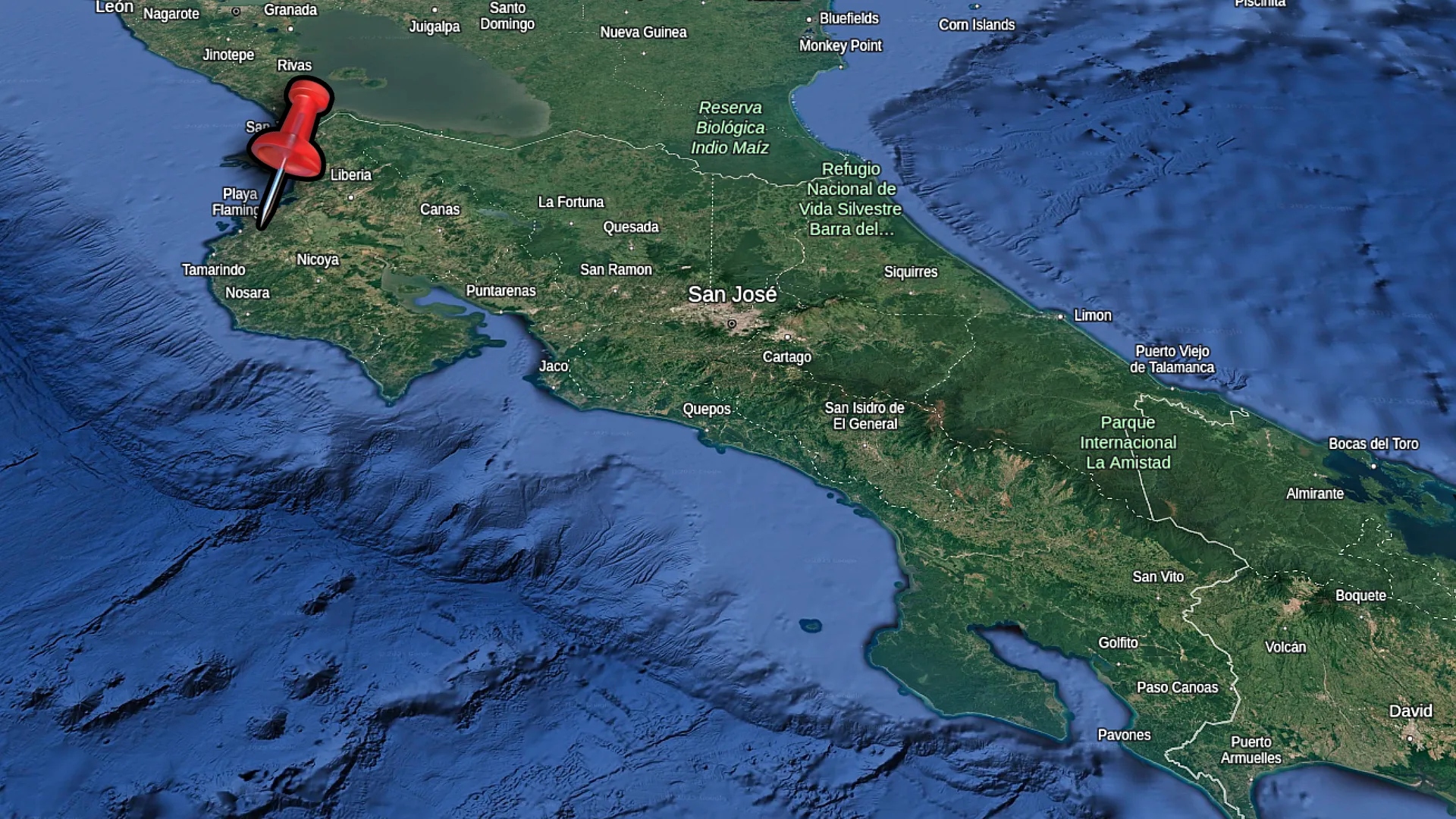
The drive from Liberia Airport takes about 30 minutes on paved roads. There’s a few trees for shade on the beach itself, so bring an umbrella if you plan to stay all day. The black sand actually stays cooler than the light sand beaches, which is nice. Water shoes help for the tide pool areas – those rocks get hot later in the day and some are sharp.
Table Of Contents
- Why Visit Playa Ocotal
- Getting to Playa Ocotal
- Swimming and Water Activities
- Nearby Beaches to Explore
- Best Time to Visit Playa Ocotal
- Frequently Asked Questions
Estimated Reading Time: 20 Minutes
Why Visit Playa Ocotal
Black Sand Beach Beauty
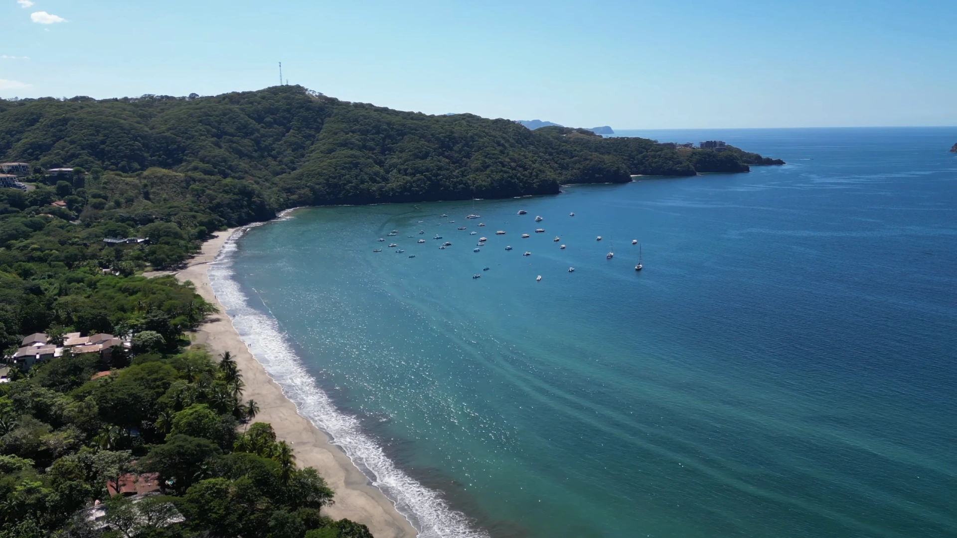
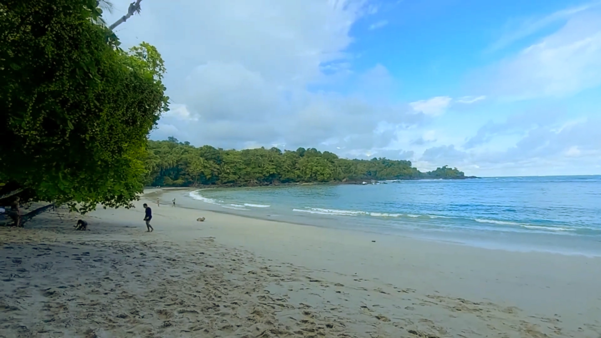
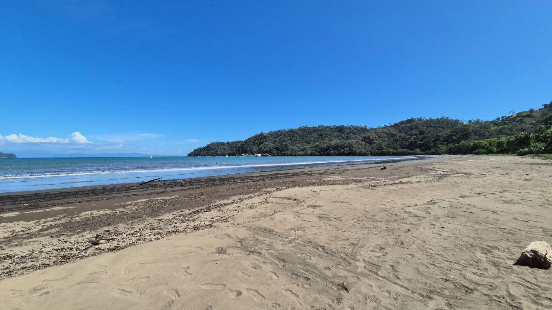
The sand at Playa Ocotal ranges from dark gray to black depending on where you stand. It’s volcanic sand, which means it has a different texture than the light colored beaches up north. The darker color actually keeps it cooler underfoot, even in the middle of the day during dry season.
You’ll see patches of regular tan sand mixed in with the black, especially near the waterline. The contrast looks cool in photos. The beach curves in a gentle arc with rocky outcrops on both ends framing the bay.
Calm Waters and Clear Visibility
The protected bay keeps the water calm most of the year. I’ve swum here when other beaches had rough surf, and Ocotal was still smooth. The waves break gently on the shore, making it easy to get in and out of the water.
Visibility underwater is excellent, especially in the morning before wind picks up. You can see 20 to 30 feet down in the clear spots. The water stays relatively clear even during rainy season, though it can get a bit murky right at the shoreline after heavy rain.
Less Crowded Than Playa del Coco
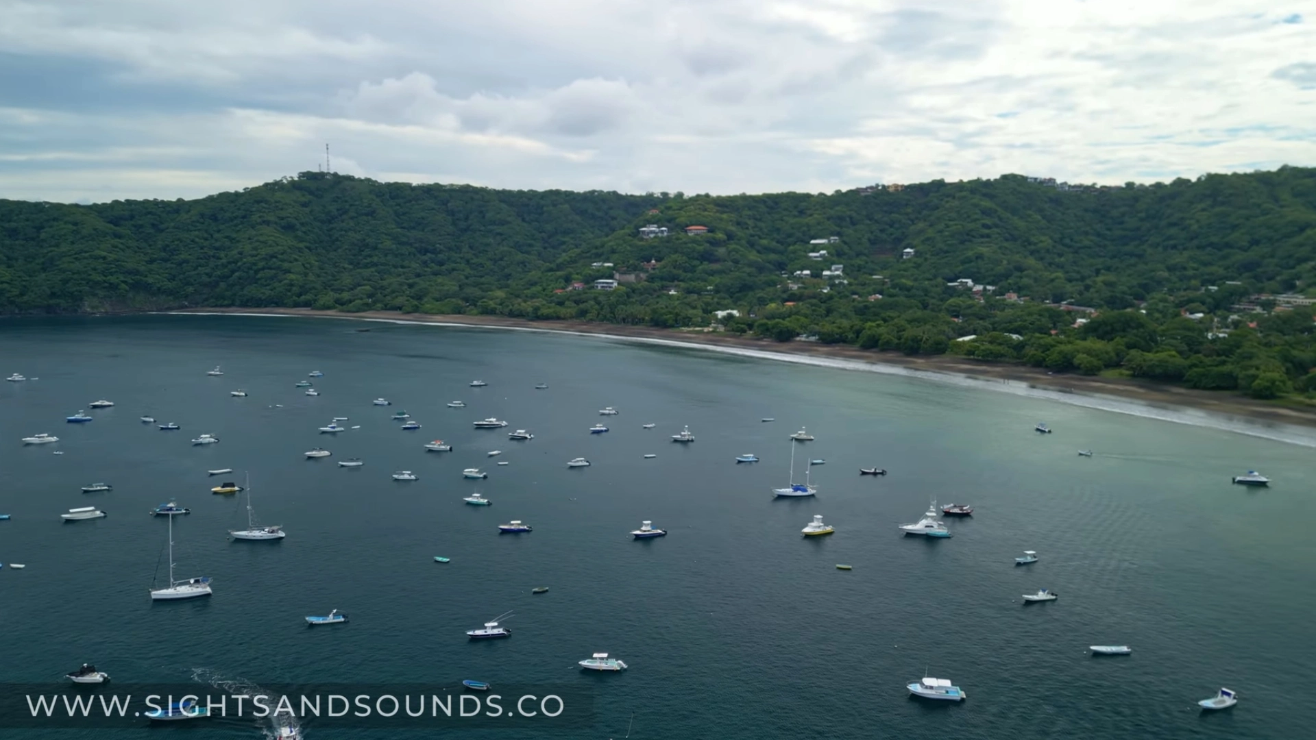
Playa del Coco gets packed, especially on weekends and holidays. Ocotal stays quiet. I’ve been here on a Saturday in high season and had long stretches of beach to myself. A few local families show up, maybe some tourists, but nothing like the crowds at Coco.
There are big houses up in the hills around the bay, so some visitors are staying in those rental properties. But there’s no commercial strip or restaurant row like Coco has. It’s just the beach, some boats anchored in the bay, and peace.
Getting to Playa Ocotal
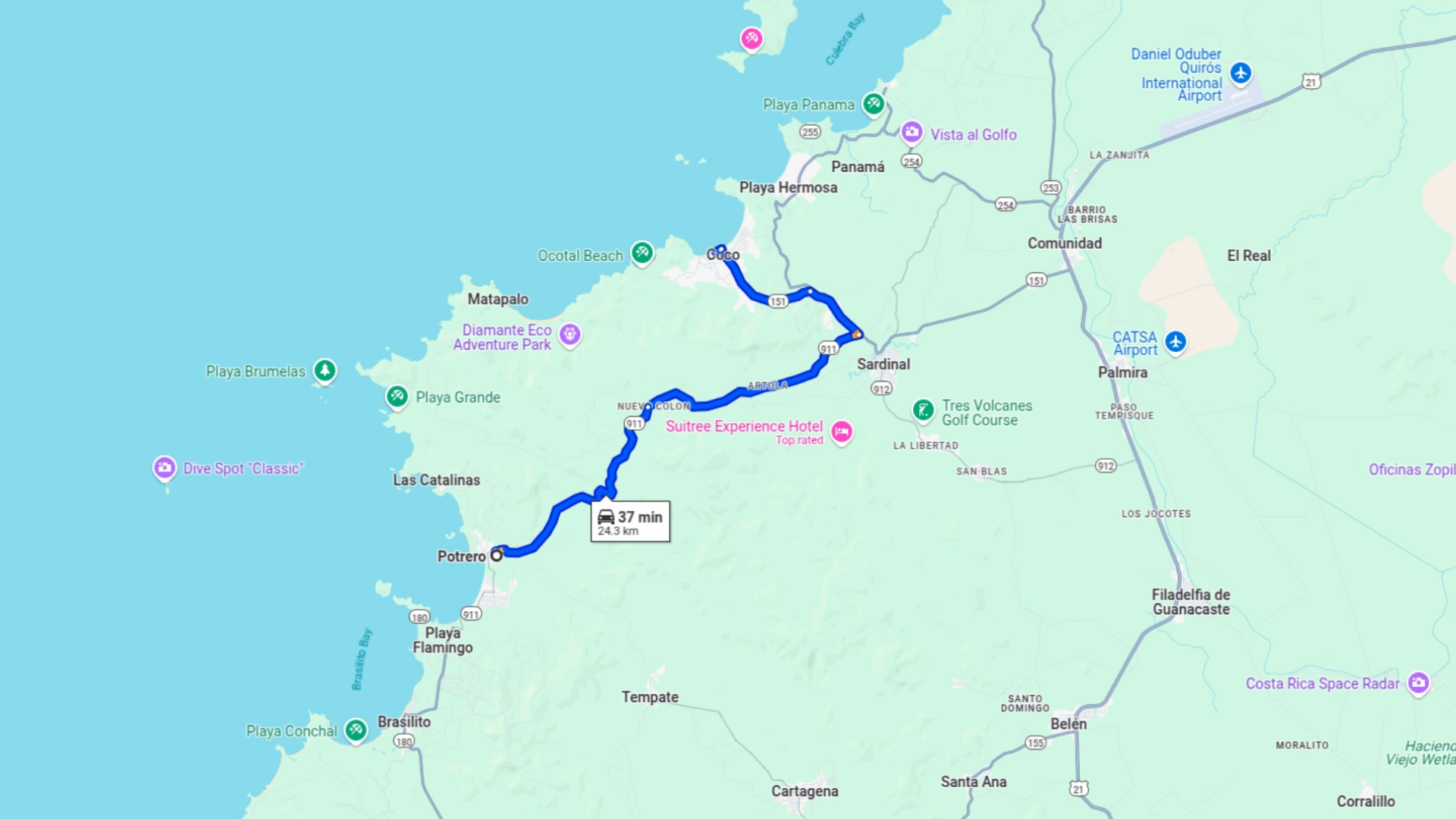
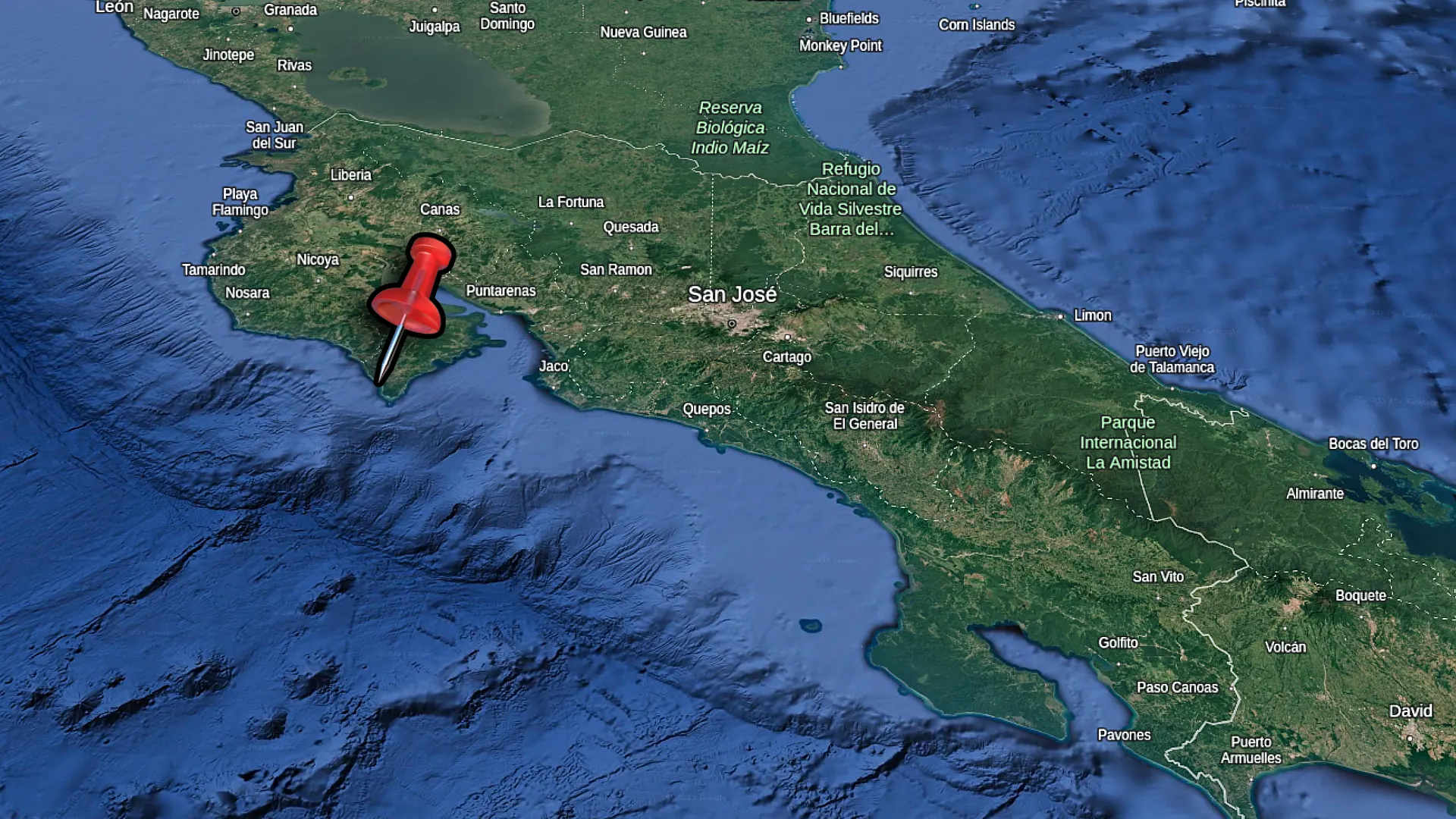
From Liberia Airport (30 minutes)
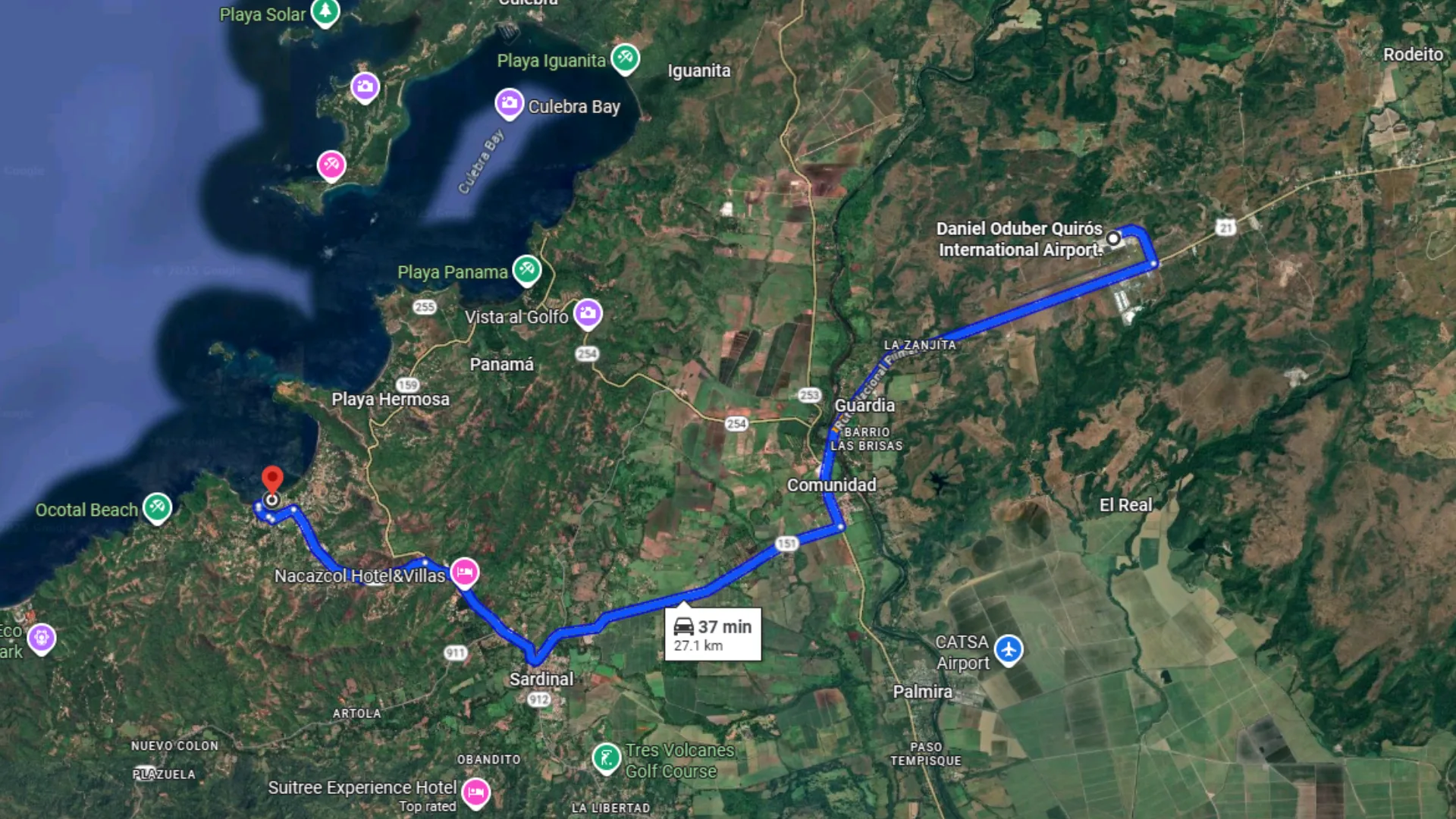
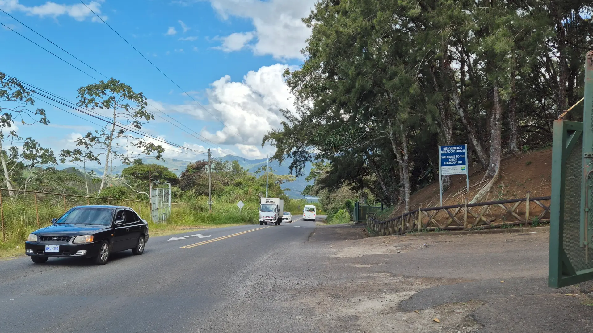
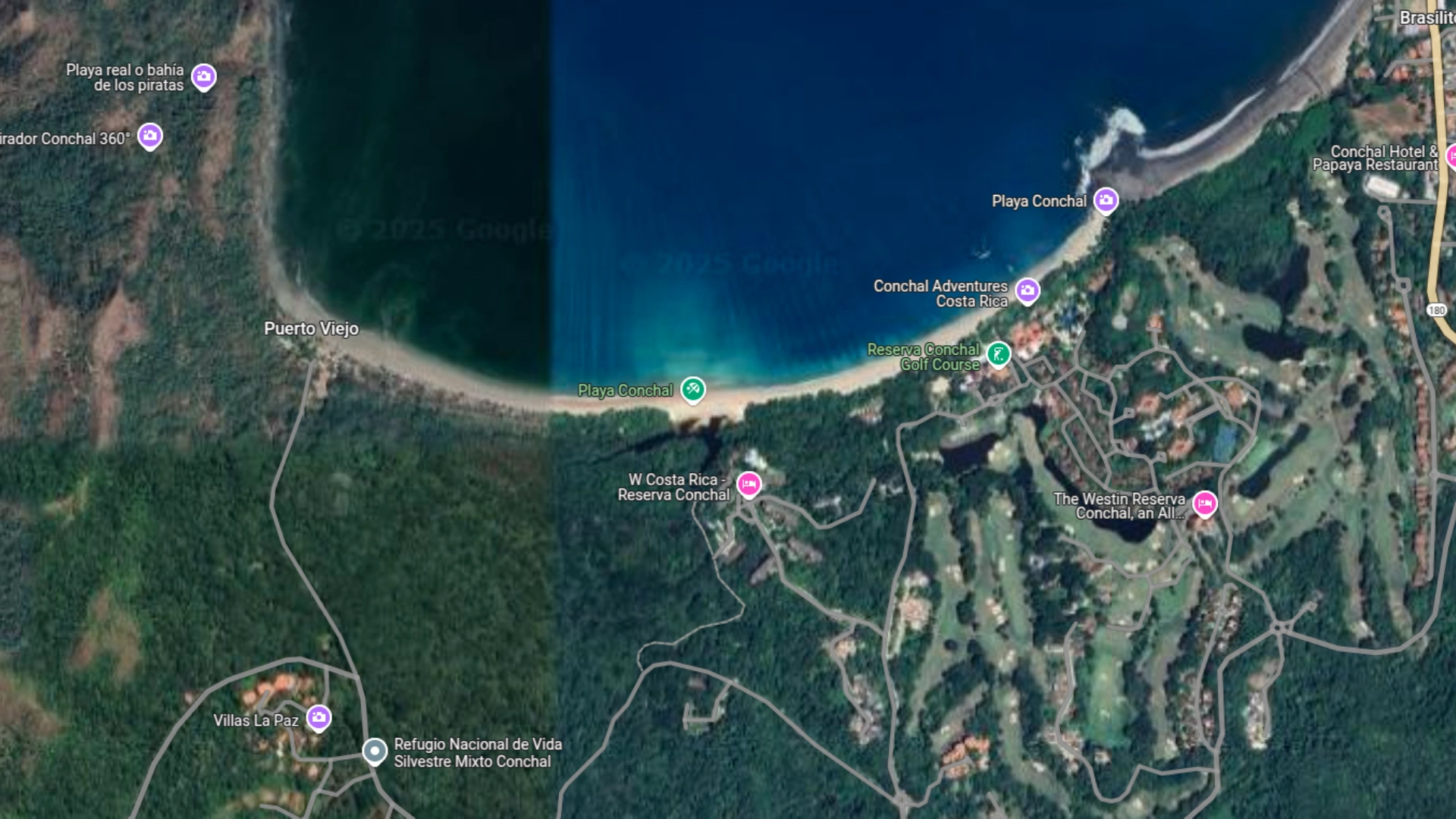
The drive from Liberia International Airport to Playa Ocotal takes about 30 minutes. Head out toward the coast through Comunidad, then continue past Sardinal on your way to Playas del Coco. The roads are paved and in decent shape.
Once you reach Playas del Coco, look for signs pointing to Ocotal. The turnoff is easy to miss if you’re not paying attention – it’s before you get all the way into downtown Coco. The road then winds back and around the mountain between the two beaches.

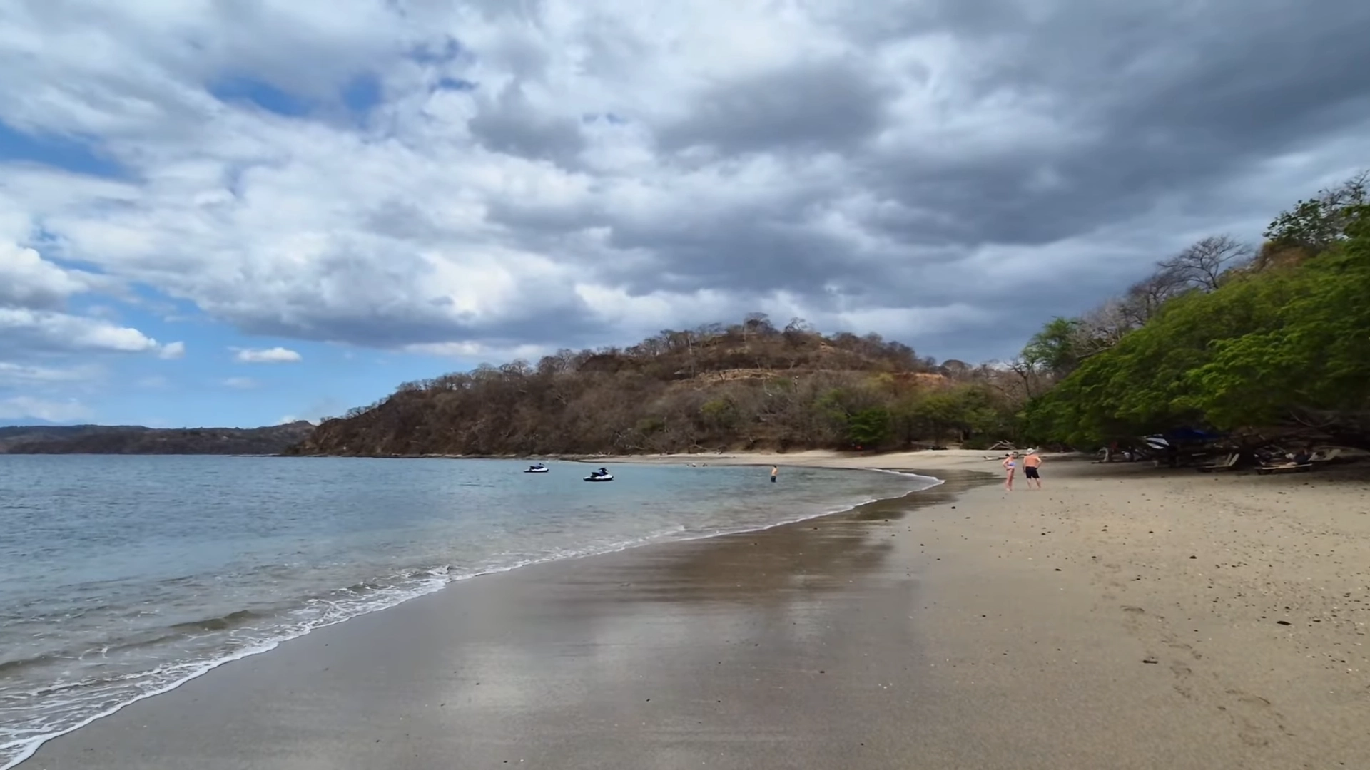
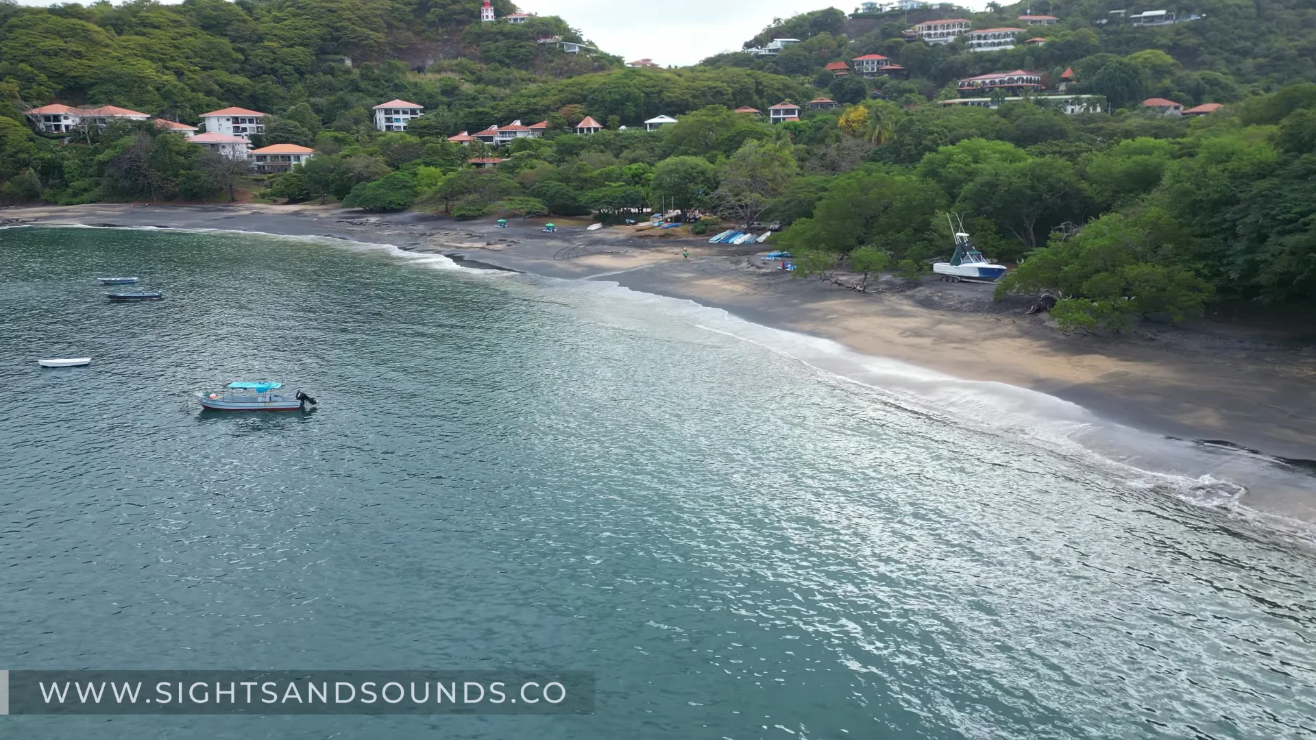
Playa Ocotal photo from the drone. You can see that most of the beach has unique black sand. The water is perfectly tranquil as well.
From Playas del Coco (10 minutes)
If you’re staying in Playas del Coco, Ocotal is a quick 10 minute drive south. The road zigzags at first with some sharp curves. You’ll see large houses and condo developments as you drive along.
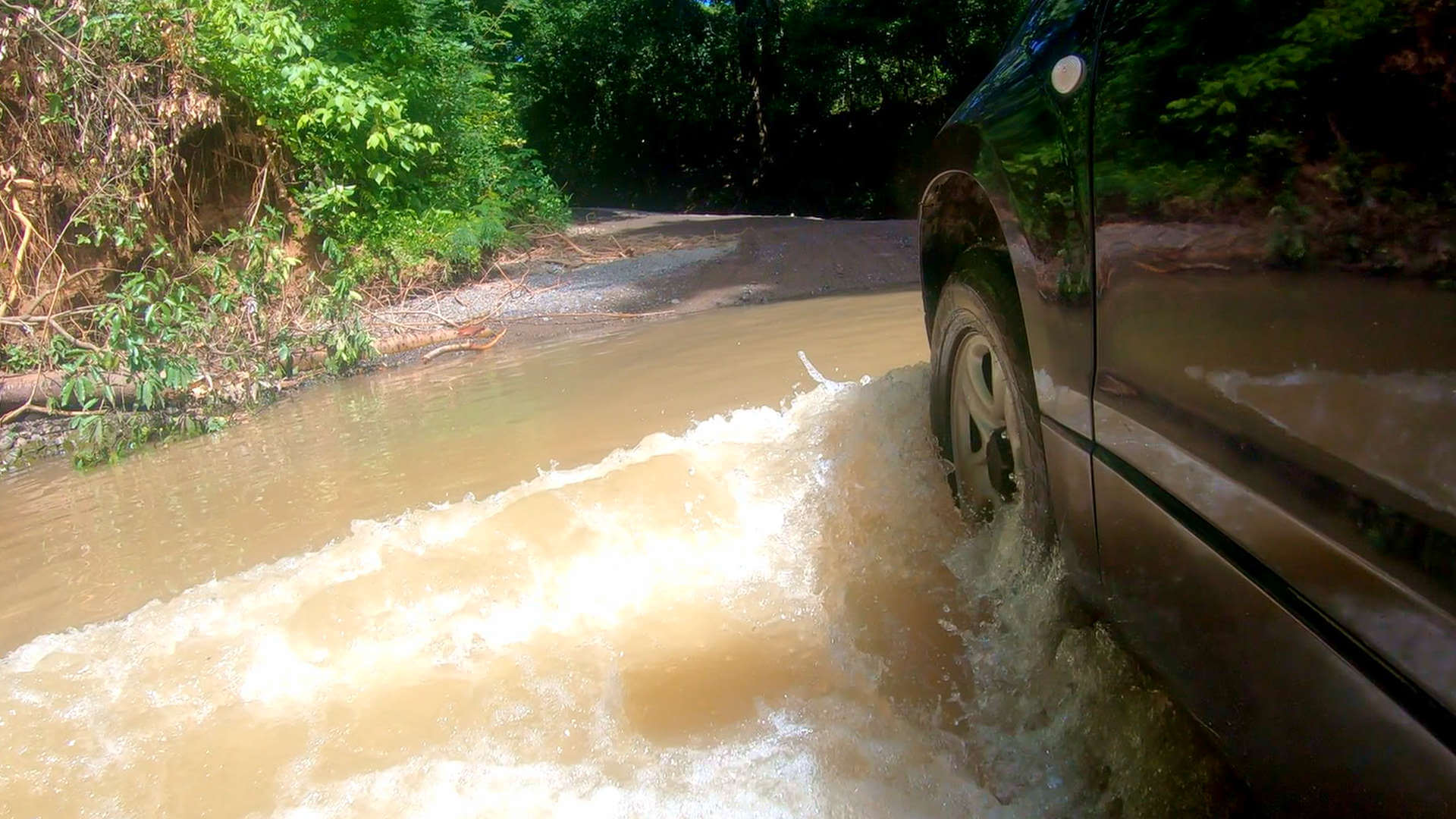
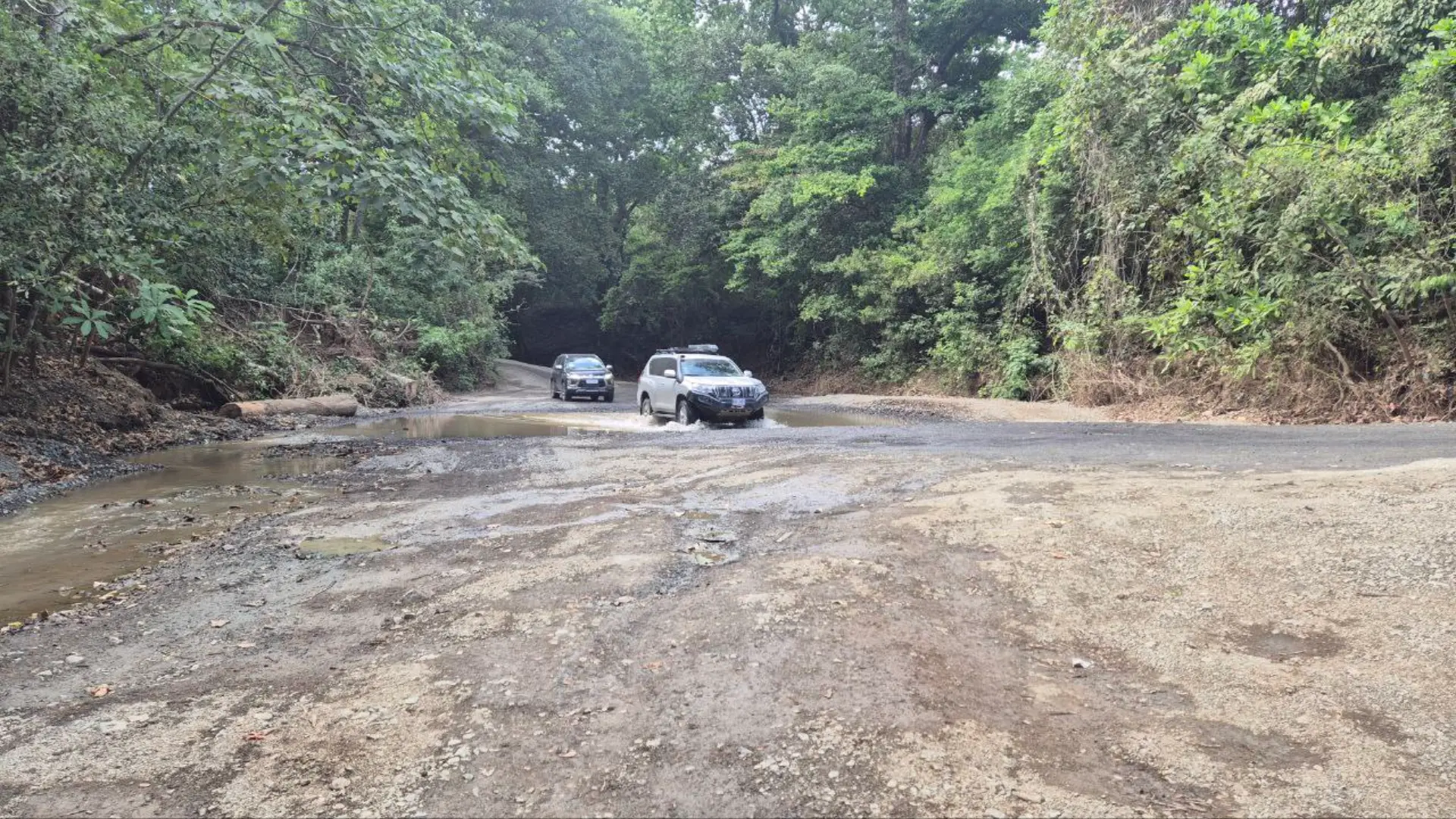
The descent into Ocotal bay is easy. Take it slow though as the road can have a few potholes. At the bottom, you’ll see the beach and parking area straight ahead.
For a complete guide to Playas del Coco visit our blog post here.
Parking at the Beach
There’s a small dirt parking area right by the beach. It’s not marked or organized – just a flat area where people pull in and park wherever there’s space. I’ve always found a spot, but it fills up faster on weekends. You can also park on the road just beside Father Roosters restaurant.
The parking is directly next to the beach access. No attendant, no fee. Just don’t block anyone in because it gets tight when it’s busy.
Swimming and Water Activities
Calm Bay for Swimming
Waves at Playa Ocotal break gently near shore most of the year. I’ve come here when beaches on the open coast were too rough to swim. The protected bay stays calm even when wind picks up.
Water depth increases gradually from the shore. You can walk out pretty far before it gets deep. Kids and less confident swimmers do fine here because there’s no sudden drop-off.
You don’t need a wetsuit, as the water stays warm year round. Mornings are usually calmer before afternoon winds start. Just jump in.
Snorkeling the Rocky Areas
Both ends of the beach have rocky outcrops where the snorkeling is incredible. These rocks create habitat for fish. I’ve spotted puffer fish, needle fish, and colorful reef fish tucked around the formations.
Mornings give you the best visibility before the water gets churned up. You can see to a great depth with ease. The coral formations are small but active – miniature structures wedged between rocks.
Watch the current around the rocks. Water pushes and pulls through channels between formations. It’s not dangerous if you pay attention, but you can get disoriented when waves roll through. Keep an eye on your exit routes back to calmer water.
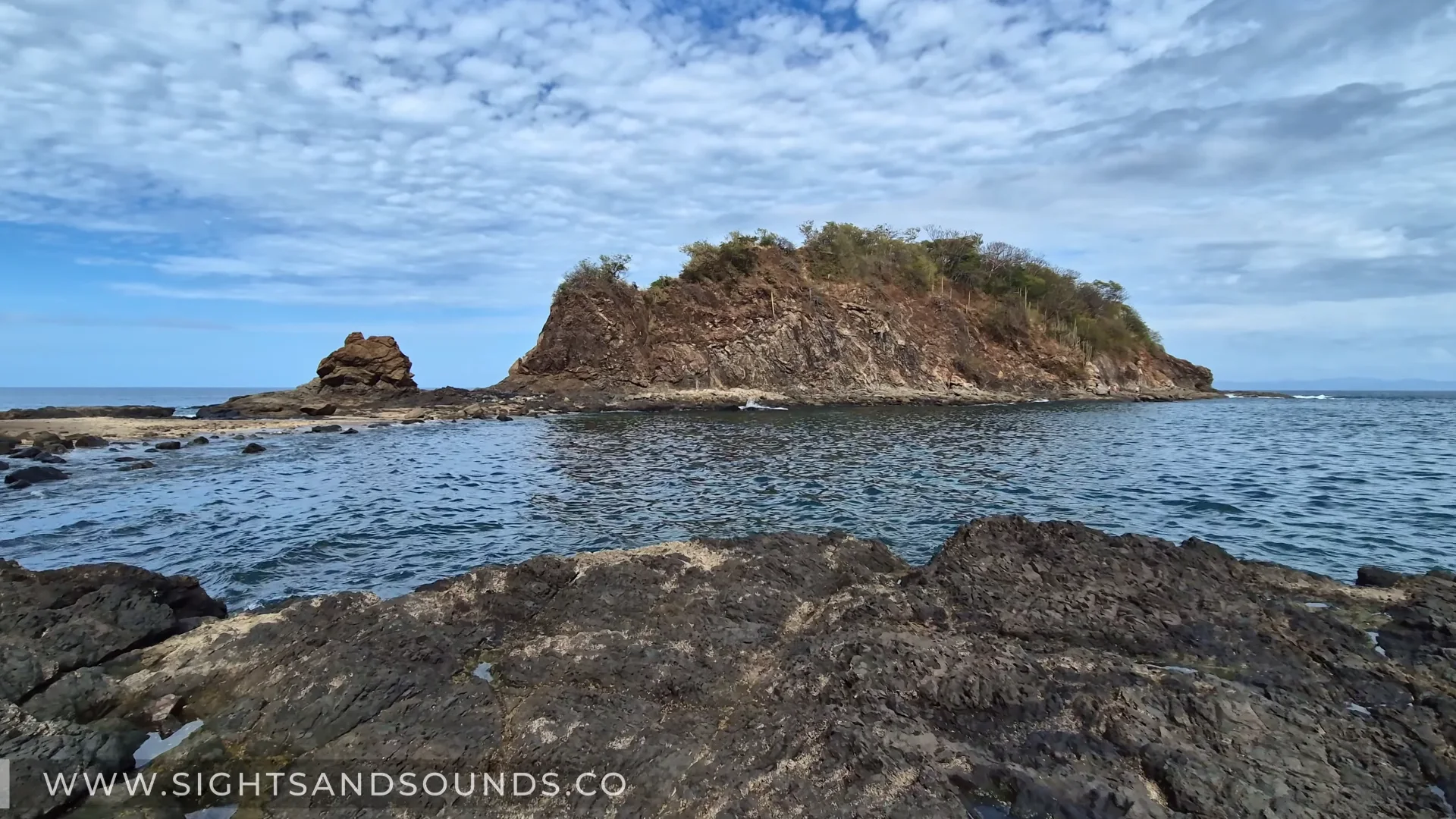
This part of the beach at the south end of Playa Ocotal has some of the best snorkeling in all of Costa Rica. It’s sheltered by the island formation so you’ll find very cool fish relaxing along the bottom.
Tide Pool Exploration
Low tide opens up the tide pools between rocky areas. You can walk across natural channels and swimming holes. Kids love seeing the crabs, small fish, and creatures trapped in the pools.
Wear water shoes! The rocks get hot later in the day and some are sharp. I’ve had these same water shoes for two years and they’re perfect for tide pool walking. Water drains right out the bottom.
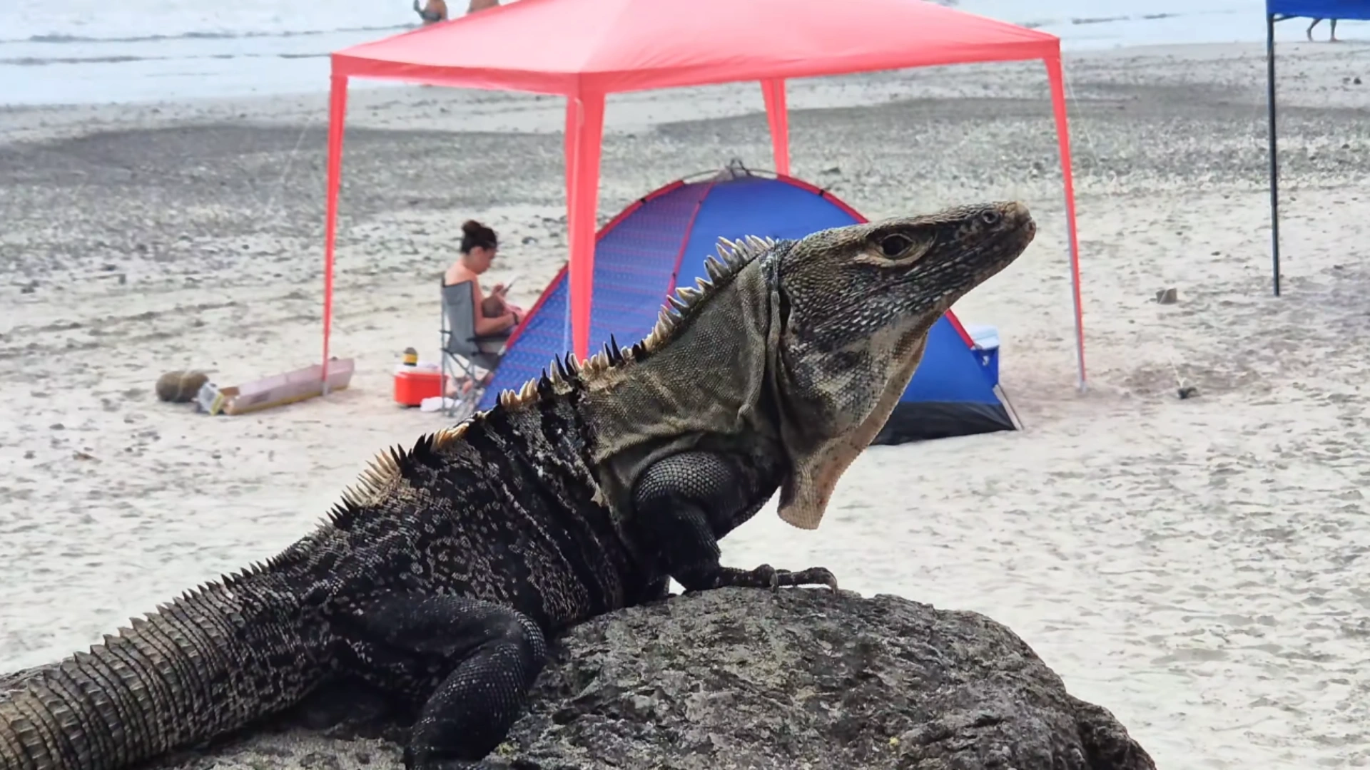
Howler monkeys sometimes show up in the trees near the southern tide pools. They’re skittish and won’t come close. Coastal birds hang around the rocks – I’ve seen some with distinctive bandit like stripes on their faces.
Shore Fishing and Spearfishing
Shore fishing doesn’t require a license in Costa Rica. People fish from the rocks with regular rods. I’ve seen locals pull decent catches from the rocky points.
Spearfishing is allowed here. The same rocky zones where you snorkel work for spearfishing. You’ll see people out there with gear, sometimes dragging bottles behind them while they swim.
If you spearfish, watch the currents around rock formations. Water movement gets strong in the channels.
Fishing Charters
Fishing charters operate out of the bay. Boats anchor in the sheltered water at Ocotal. I have a contact who runs charters out of Playa Panama, but captains will pick up from different beaches including Ocotal. Leave a comment on Youtube if you’d like my fishing boat contact.
Boat fishing requires a license – charter companies handle this as part of the tour package. Expect to pay $400-800 for a half-day charter depending on boat size and season.
The calm bay makes boarding easier compared to beaches with surf. That’s one advantage of fishing out of Ocotal versus more exposed locations.
Nearby Beaches to Explore
Playa Gringo (Secluded Alternative)
Playa Gringo is right next to Playa Ocotal – you can see it from the rocks at the southern end of Ocotal beach. It’s much more secluded and harder to access. The sand is lighter colored than Ocotal and the beach is usually empty.
Getting to Playa Gringo requires either hiking or driving a rough road through an old development. The road is extremely rutted and steep in places. I tried it on a motorcycle and had to let air out of the tires twice. I ended up parking and hiking the last section.
If you hike in, it takes about 20-30 minutes from where you park. The road drops steeply down to the beach. A dirt bike would handle it better than a regular motorcycle or car.
The beach itself is beautiful once you get there. Clear turquoise water, good snorkeling around the rocks on both ends, and calm waves for swimming. You’ll probably have it to yourself or share it with just a few other people who made the trek.
There’s a fence at the bottom of the access road with a lock that’s been cut. Beaches in Costa Rica are public, so access is legally protected. The fence appears to be from the old development that hasn’t been maintained in years.
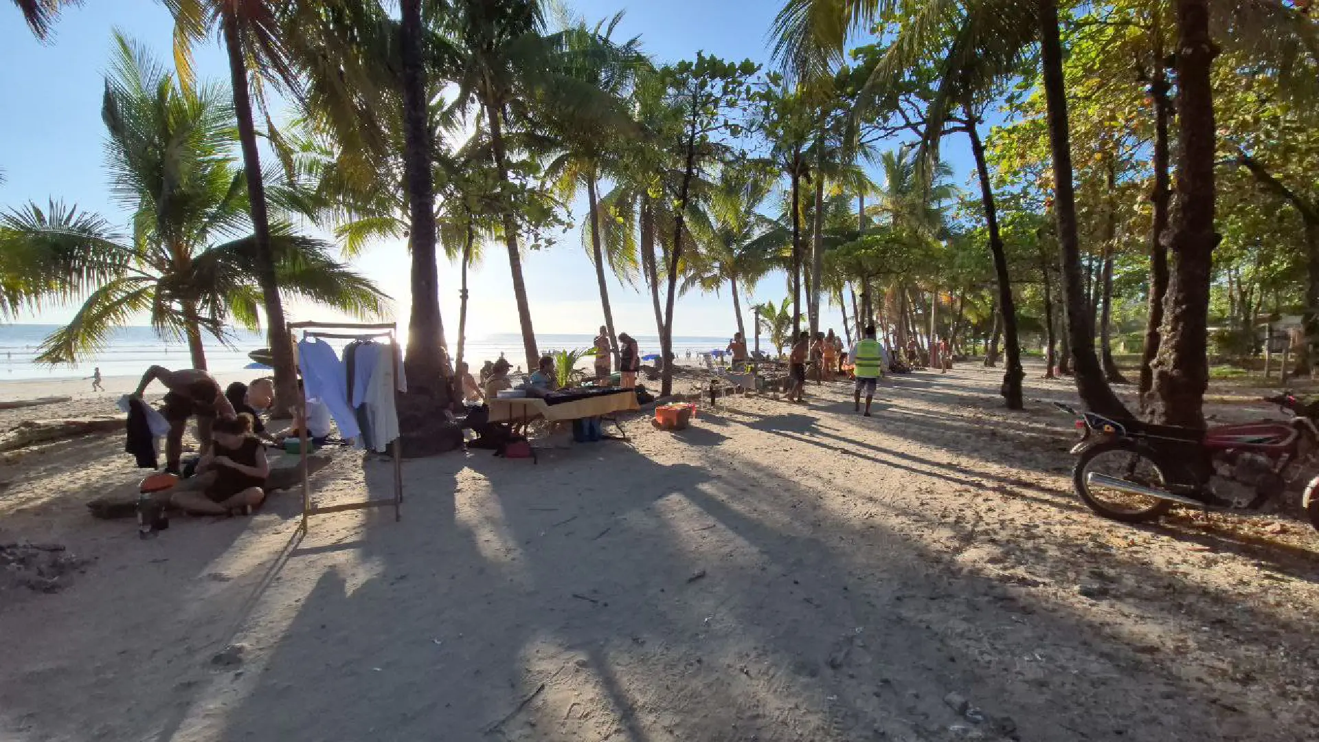
Playas del Coco (Main Town)
Playas del Coco is 10 minutes north of Ocotal and is the main hub for the area. The beach there is busier with restaurants, bars, and tourist services lining the waterfront. It’s a completely different vibe from quiet Ocotal.
Coco has grocery stores, pharmacies, surf shops, and tour operators. If you need supplies or want more dining options, head to Coco. The beach itself gets crowded on weekends and holidays – think packed sand and lots of activity.
Most people use Coco as a base and day trip to quieter beaches like Ocotal. It has more accommodation options and better infrastructure. Just depends if you want the action or prefer the peace at Ocotal.
Best Time to Visit Playa Ocotal
December through April is dry season in Guanacaste. You’ll get consistent sun and calm water, but this is when prices jump and more tourists show up. I’ve seen the parking area fill up by 10am on weekends during February and March.
Rainy season runs May through November. The bay stays calm even when storms roll through other beaches. Rain usually hits in the afternoon – quick downpours that clear out in an hour or two. Mornings are often perfectly clear for swimming.
I’ve been to Ocotal during rainy season and honestly prefer it. Fewer people, lower accommodation rates, and the beach keeps its quiet character. You might dodge some rain showers, but you also might have long stretches of beach to yourself.
Skip Easter week and Christmas if crowds bother you. Costa Ricans pack the beaches during these holidays. The parking lot overflows and the whole vibe changes – it’s not the same peaceful spot.
September and October are the rainiest months. You’ll get more afternoon storms during this period. But even then, mornings can be great. Just don’t plan your whole day around beach time.
Nearby Beach Town: Playas del Coco is only a 10 minute drive from the quiet Playa Ocotal. That’s where you’ll find more restaurants and amenities. Check out our blog post for more info.
If these blog posts and videos help plan your Costa Rica vacation, please support our channel.
Follow Us
Keep up with our latest Costa Rica travel videos and guides by subscribing to our YouTube channel. We regularly post new content showing real conditions across different regions and seasons.
Costa Rica is a small country with tons to see and do. There’s all kinds of different beaches, some have calm water for snorkeling. Others are great for surfing. You can explore wildlife in humid tropical woodlands, or in cooler mountain valleys. Don’t be overwhelmed by the variety of options! Contact Us for help planning your vacation or longer stays.
Frequently Asked Questions
Is Playa Ocotal good for swimming?
Yes, Playa Ocotal is excellent for swimming. The protected bay keeps waves calm most of the year. Water depth increases gradually from shore, making it safe for kids and less confident swimmers. You don’t need a wetsuit – the water stays warm year-round.
What’s the difference between Playa Ocotal and Playas del Coco?
Playa Ocotal is quieter and less developed than Playas del Coco. Ocotal has calm water, black sand, and minimal commercial development. Coco is the main town with restaurants, bars, shops, and a busier beach scene. Ocotal is 10 minutes south of Coco.
Can you snorkel at Playa Ocotal?
Yes, the rocky areas on both ends of the beach have good snorkeling. You’ll see puffer fish, needle fish, and colorful reef fish around the rock formations. Best visibility is in the morning before wind picks up. Watch the currents around the rocks.
Are there real estate opportunities near Playa Ocotal?
Yes, the hills around Playa Ocotal have houses and condominiums with ocean views. If you’re interested in properties in the Ocotal or Playas del Coco area, check out El Coco Properties for current listings and local market information.
Does Costa Rica require an exit ticket?
Yes, Costa Rica requires proof of onward travel when you enter the country. You need to show either a return flight or an exit ticket to another country. If you don’t have firm travel plans yet, you can get a temporary ticket at Onward Ticket to meet this requirement.
How far is Playa Ocotal from Liberia Airport?
Playa Ocotal is about 30 minutes from Liberia International Airport. The drive goes through Comunidad and past Sardinal toward the coast. Roads are paved and in good condition the whole way.
Do you need a car to visit Playa Ocotal?
A car makes it easier to reach Playa Ocotal, but you can take a taxi from Playas del Coco for about $10-15. If you’re staying in Coco, it’s a short drive or taxi ride. Having a car gives you flexibility to explore other nearby beaches.
What should I bring to Playa Ocotal?
Bring water shoes for the tide pools and rocky areas. Also pack sunscreen, water, snacks, and an umbrella or beach shelter since shade is limited. The beach doesn’t have vendors or facilities, so bring everything you need.
Is Playa Ocotal crowded?
No, Playa Ocotal stays relatively quiet compared to Playas del Coco. You might see more people on weekends, but it’s never packed like the main town beaches. Avoid Easter week and Christmas if you want the quietest experience.
Can you see wildlife at Playa Ocotal?
Yes, howler monkeys sometimes appear in the trees near the southern tide pools. You’ll see coastal birds around the rocks. In the water, you can spot various fish species while snorkeling around the rocky areas.